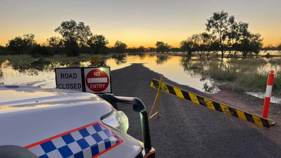
Flash flooding, hazardous surf, thunderstorms and damaging winds are expected to pummel Australia's east coast as the Bureau of Meterology (BoM) warns of days of wild weather ahead.
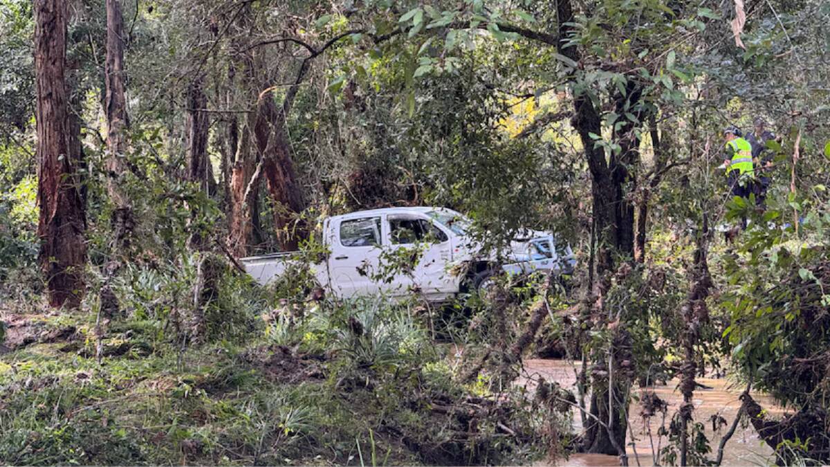
A 71-year-old man was found dead at his Greenbank, southern Queensland property at 5.20am on April 4 after flash flooding submerged his car, police said.
More than 150 millimetres of rain fell on Greenbank overnight and BoM issued an initial Major Flood Warning for the Bremer River and Warrill Creek.

Downpours are expected in southern Queensland and eastern NSW with rainfall totals forecast to reach 200 to 300 millimetres until April 6.
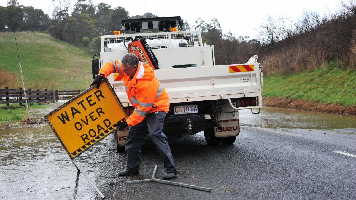
"Rainfall of this magnitude can quickly lead to flash flooding, cutting off our roads, making them impassible and blocking our drainage systems," BoM meteorologist Miriam Bradbury said.
Sport and community events are subject to change in Queensland and NSW as towns brace for the deluge.
Thunderstorms on the afternoon of April 3 in southern Queensland and northeast NSW kicked into a higher gear on April 4 with wetter weather forecast to extend more broadly across the east coast.
"Thunderstorms may bring heavy to locally intense rainfall to northeast NSW and southern Queensland," Ms Bradbury said.
Severe weather 'ramps up'
A trough off the coast of NSW is expected to deepen on April 5 when "we'll see the most severe weather starting to ramp up", the meteorologist said.
"This trough is likely to drag in further moisture and direct it across eastern and central NSW with the risk of heavy falls becoming more widespread and intense," she said.
"We may also see strong winds wrapping around that trough and high seas and swell starting to be generated offshore."
Low pressure system brings uncertainty
A low pressure system was expected to develop in the trough from April 5 and push towards the southern coast of NSW, Ms Bradbury said.
BoM confirmed the low pressure system was not likely to be a damaging East Coast Low weather event.
"The heaviest rain and the strongest winds are likely to be tied to wherever that low may develop," Ms Bradbury said.

"There's still an element of uncertainty as to exactly when and where that will happen," she said.
Storms are expected to continue moving south on April 6 as rain and wind are forecast in east Gippsland.
"With a lot unfolding over the next few days, it is essential that you check the forecasts and warnings regularly by the Bureau's website and the BoM weather app," the meteorologist said.


